Historical map projections
on top of contemporary maps
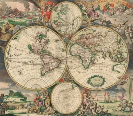
Welcome to PA2P_Historical_Maps
A word of welcome
This website is dedicated to historical maps. All the historical maps that I have found on the internet in the past few years are shown here.
If you want to see these historical maps directly please proceed. If you first want to learn more about this website I suggest to read the following.
History of mapping
Cartography (from Greek |
 |
 khartes, "map" and
  graphein, "write"), or mapmaking, has been an integral part of the human story for a long time, possibly up to 8,000 years.
From
graphein, "write"), or mapmaking, has been an integral part of the human story for a long time, possibly up to 8,000 years.
From Chapters
In About Me a brief description about myself is given. The actual historical maps, optionally sorted by country, can be chosen and viewed at Historical maps by country or alternatively at Historical maps gallery.
The chapters are completed with a contact form at Contact Me.
How does it work?
Once you have chosen a historical map at the country page or gallery page a new window will be opened. This window will show the contemporary map with Google Maps and the historical map will be projected on top of it.
A slider at the top-right enables to increase or decrease the transparcancy of the historical map. Furthermore the map has the usual Google Maps functions: zoom in/out, moving in all directions and changing the map view (map/satellite/picture).
Ordering?
Do you want a historical map projection on Google Maps for private use, your business website or otherwise?
Please feel free to contact me for inquiries without any hesitation.
Interesting historical maps?
If you have an interesting historical map for me, please let me know what and where it is, or send it to me by e-mail. I will work it out as the next historical map projection.
Suggestions and contact
Suggestions for this website or historical maps are always welcomed!
Use the contact form to contact me, to complain, make suggestions or otherwise.